Navigate Smarter with 3D, Satellite, and More
Features
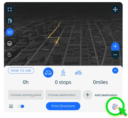
Navigate your route in 3D for a detailed, dynamic view of your surroundings. Start in satellite view to get a realistic top-down image of your location, and easily get directions for driving, walking, or cycling. Need them offline? Print your directions for convenient use anytime.


Navigate Your Route in 3D
Navigate with precision using the 3D map view, offering realistic terrain and key landmarks for a more detailed and immersive journey.


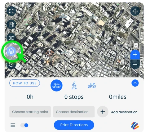
Start maps in satellite view
Begin your navigation with a detailed satellite view for a real-world perspective of your surroundings, making it easier to plan your route.

Directions & Printing
Get clear, step-by-step directions and easily print them for offline use, ensuring you’re always prepared
for your journey.
How to use
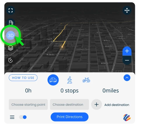
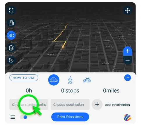
Explore your route in 3D
Experience your route in detail with the 3D view, offering a dynamic, lifelike perspective of the map.
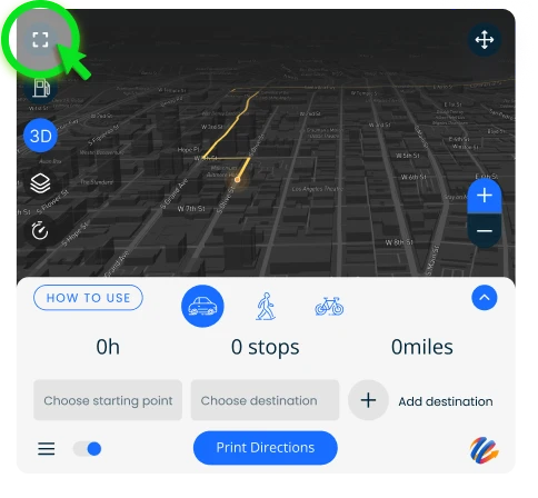
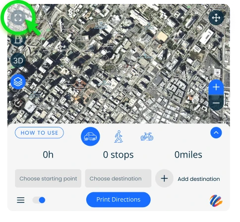
Expand map
Tap to expand the map for a larger view, making it easier to see your route and nearby locations.
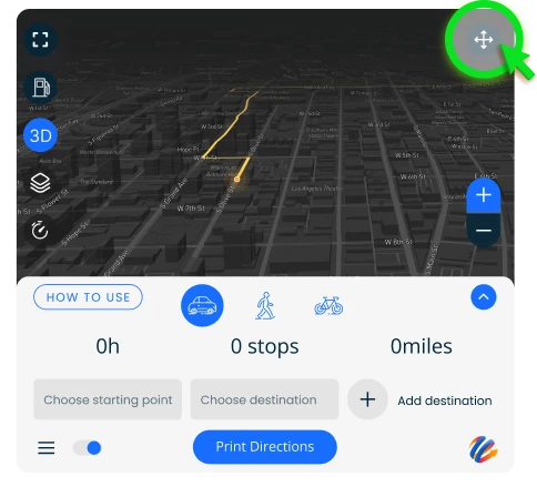
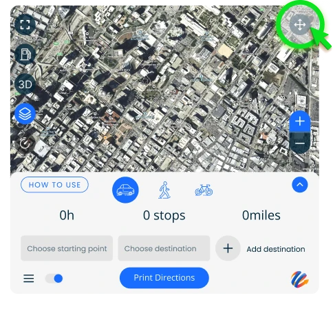
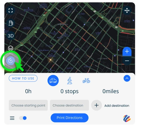
Move widget
Click and drag to move this widget and reposition it anywhere on the screen for a customized view.
Start maps in satellite view
Change your default view by enabling maps in satellite view.
Expand map
Tap to expand the map for a larger view, making it easier to see your route and nearby locations.
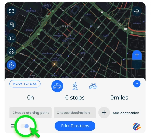
Move widget
Click and drag to move this widget and reposition it anywhere on the screen for a customized view.
Find the best route
Begin by entering your starting point and end destination. You can include as many stops or additional addresses as you need to build a complete route.
Adjust your route
To rearrange your stops, just drag the field to the left or right. For additional steps, click on the middle field with multiple steps to access the edit screen.
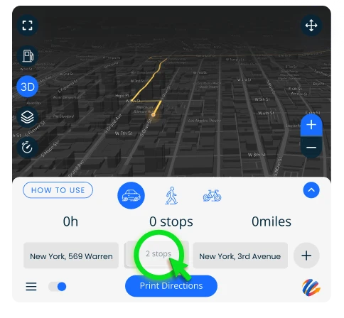
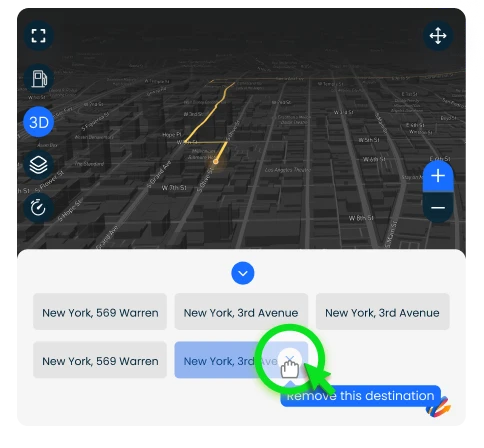
Remove stops
To remove a stop in your journey, hover over the address and click the X button that appears.
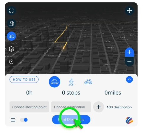
Print your directions
The final step! Click ‘Print Directions’ to download or print your directions with step-by-step navigation.
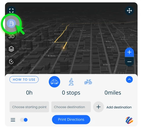
Compare gas prices by city
It allows you to find the cheapest gas along your route and plan where to fill up.
Check local conditions
Trying to avoid traffic? Check your local traffic before heading on your way.
Avoid slowdowns
Steer clear of traffic jams - simply turn on the Avoid Slowdowns option.
Accessing the Widget
Access View3DEarthMaps at any time by clicking on the icon. You can also move the widget or icon wherever you’d like within your browser.
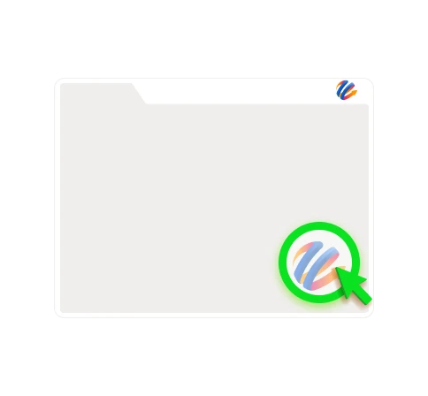
If disabled, you can easily reactive the widget by clicking the View3DEarthMaps icon at the top right of your browser, then select ‘Enable Everywhere’.
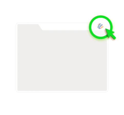
You can close the widget by clicking the View3DEarthMaps icon in the lower right corner.
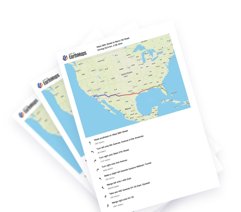
No signal? No problem
By printing out your directions, you eliminate the need to rely on technology and GPS signal. Keep turn by turn directions in hand for a safe and reliable way to your destination.